Description
Simulation of Cropland Data Layer Products from the USDA.
Description
Provides tools to simulate categorical raster data, including objects from the 'terra' package. Functions focus on generating edge pixel values from reclassified raster data derived from the United States Department of Agriculture (USDA) Cropland Data Layer products.
README.md
cdlsim
![]()
The goal of cdlsim is to simulate USDA CDL data to quantify the sensitivity of metrics calculated on it. The R package landscapemetrics is used to implement popular FRAGSTATS style metrics in R.
Installation
The stable release of cdlsim will be available from CRAN soon:
install.packages("cdlsim")
Until then, you can install the development version of cdlsim from GitHub with:
# install.packages("devtools")
devtools::install_github("burgerhaley97/cdlsim")
Example Usage
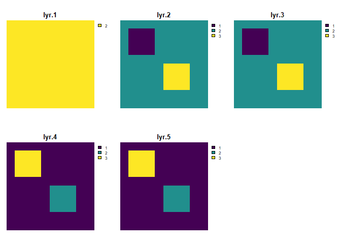
This is a basic example which shows how a simple landscape would behave in our simulation:
library(cdlsim)
Create a small raster
r <- rast(nrows = 20, ncols = 20) values(r) <- rep(1:3, length.out = ncell(r))
Simple transition matrix
trans_mat <- matrix(1/3, nrow = 3, ncol = 3) rownames(trans_mat) <- colnames(trans_mat) <- c("1", "2", "3")
Simulation example
simulate_raster_patch(r, trans_mat, iterations = 1)