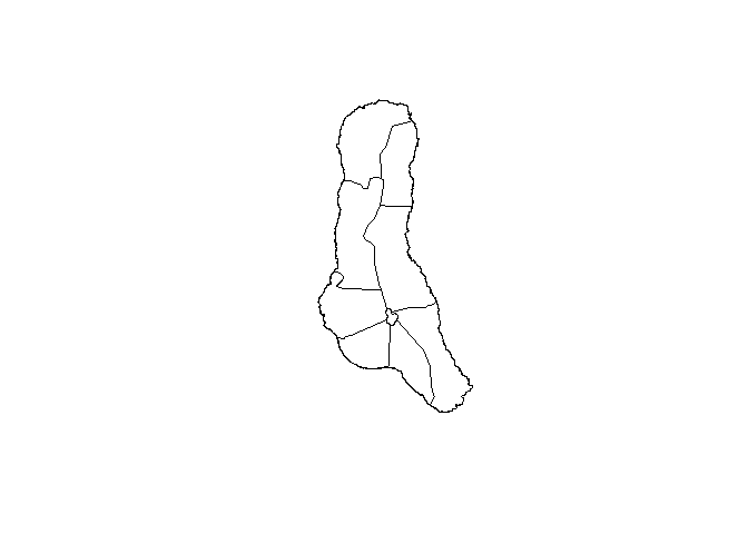
Description
Comoro Islands Maps.
Description
Provides static and interactive maps of the Comoro Islands at four administrative levels: country, island, prefecture, and commune. Includes tools for choropleth visualisation using 'ggplot2' and 'leaflet', and functions to retrieve the underlying spatial datasets as 'sf' objects.
README.md
Overview
The goal of comorosmpas is to get maps of Comoro Islands to plot!
Installation
Install from CRAN with
install.packages("comorosmaps")
The development version of comorosmaps may be installed directly from github.
devtools::install_github("hhousni/comorosmaps")
Usage
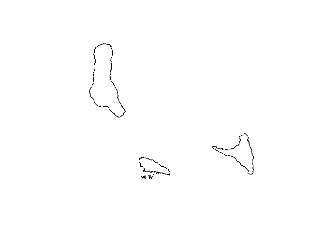
Plot Comoro islands as one country without region.
library(comorosmaps)
comoros()
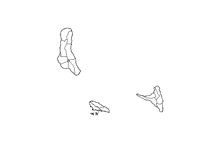
Plot Comoro islands as one country with region.
comoros(pref = TRUE)
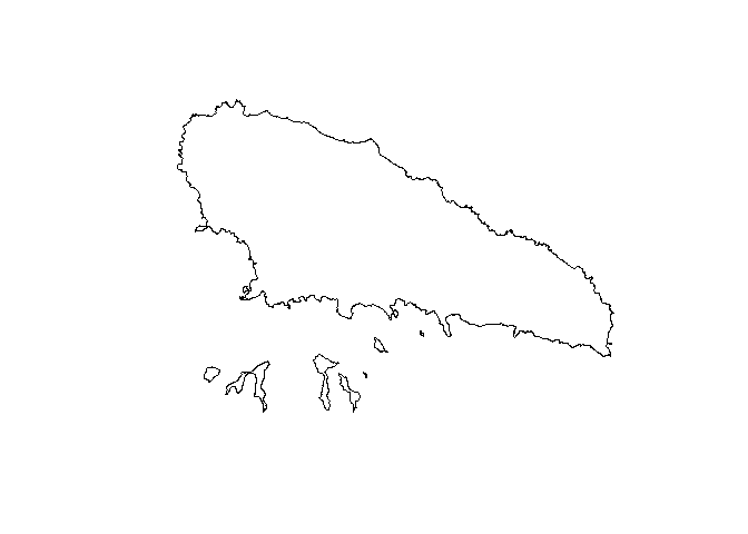
Plot Moheli island without region.
moheli()
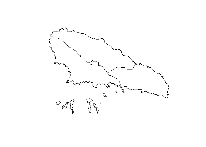
Plot Moheli island with region.
moheli(pref = TRUE)
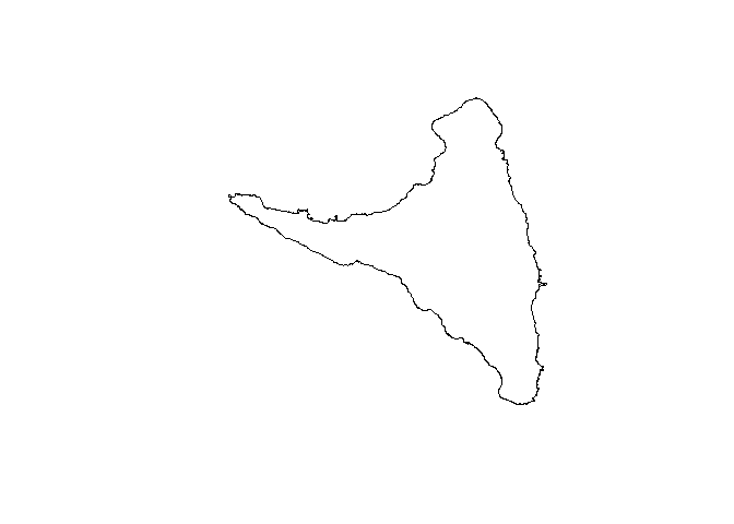
Plot Anjouan island without region.
anjouan()
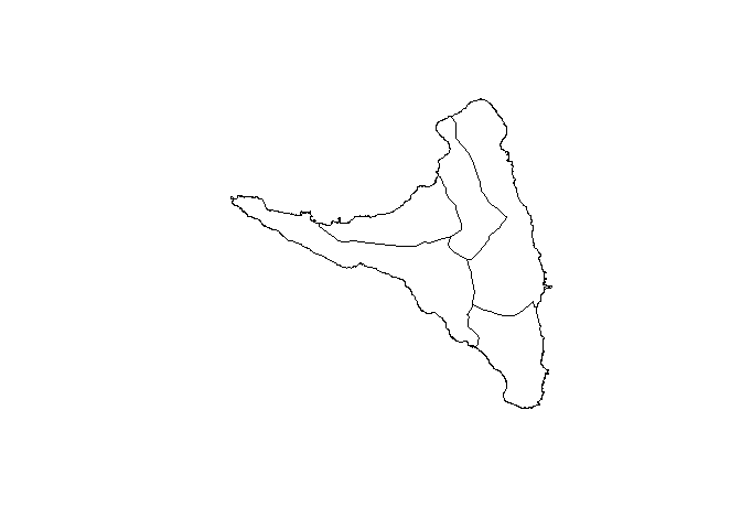
Plot Moheli island with region.
anjouan(pref = TRUE)
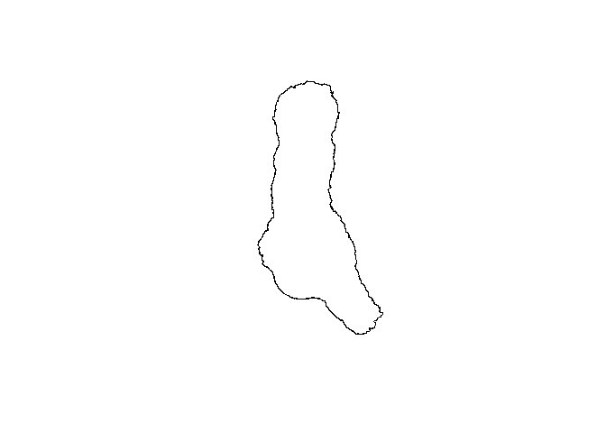
Plot Grande Comore island without region.
grandeComore()
Plot Grande Comore island with region.
grandeComore(pref = TRUE)